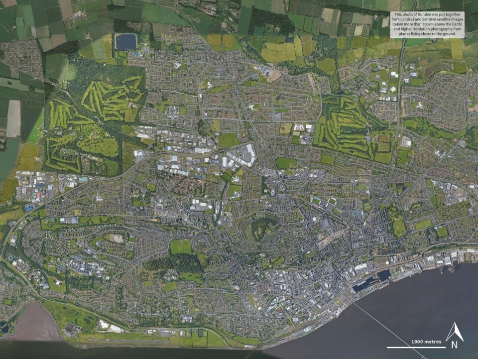
Travelling into space fundamentally alters our view of Earth. Satellites give us an insight into what we can see when we look back at our planet. Centres who are taking part in Destination Space Phase 2 will have received a satellite mat of the locality around your science centre. Use these to talk about the kinds of things you can see from above, and which local features are particularly noticeable.
Can participants immediately recognise their town?
Can they locate the Science Centre and maybe even spot the roof of their school or home?
If you don’t have a mat at your centre, Google Earth is a great way to introduce people to their home town from above and you can turn these images into printed resources. ASDC can point you towards printers to get a large floormat printed.