Earth never stops! Find out what exciting developments are happening from around the world.
The untapped reservoir of hot water beneath UK cities could provide green energy for millions of homes.
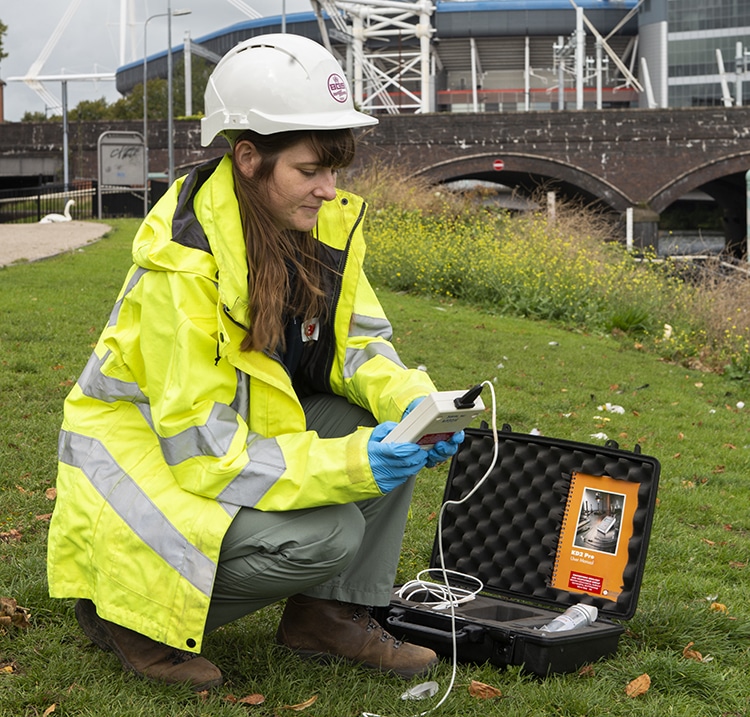
A pilot scheme in Cardiff shows that it is possible to heat buildings using groundwater beneath the Earth’s surface. If this technology was rolled out across the UK it could provide green energy for millions of homes and small businesses.
The UK has set an ambitious target of reducing its net greenhouse gas emissions to zero by 2050. The solution may be lying right under our feet; there is potentially enough geothermal energy under the Earth’s crust to provide for all our power needs for billions of years, all we need do is harness it.
If you were to dig a big hole straight down into the Earth, you would notice the temperature increasing the deeper you go. That’s because the inside of the Earth is full of heat – emanating from the planet’s core, and the radioactive decay of uranium, thorium and potassium in certain types of rocks. Unfortunately, most of this heat is inaccessible; but tapping just a fraction of it would make a substantial contribution to reducing greenhouse gas emissions.
One option is to drill deep down into rocks to access hot waters directly. In most regions of the UK this would be madness, as the drilling costs would be astronomical. However in the south west of England, where the crust contains large amounts of heat producing granites, it may be feasible, and a geothermal power plant is currently under development at United Downs.
However the risks from drilling deep boreholes into the Earth’s crust are not yet fully understood, with some fearing the impacts on seismic activity. BGS scientists in Cardiff believe that a more promising route lies in accessing shallow groundwater just meters beneath the ground.
To read more about this, check out the Planet Earth website.


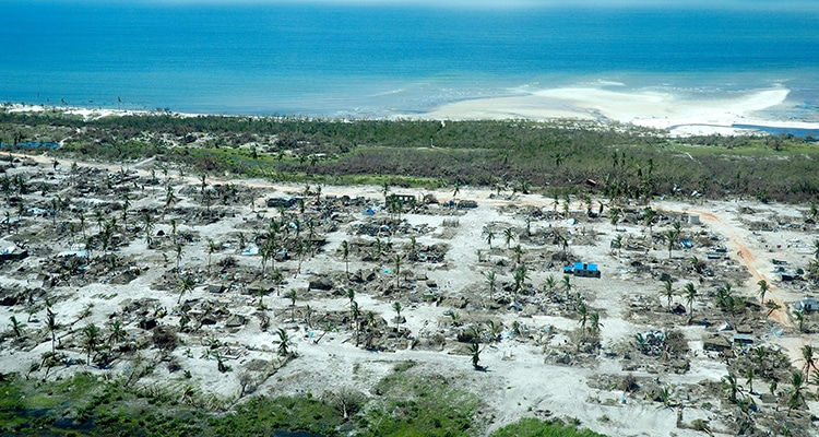
In November 2019 and February 2020, severe floods wreaked havoc across much of the UK. Given the huge costs to people’s lives and livelihoods caused by floods, one may wonder why more cannot be done to prevent flooding, or at least to warn people when a flood is expected.
So how can scientists predict when and where a flood is likely to occur? The first thing you need to get right is the weather forecast – you need to know how much rain is going to fall and in what areas. However, whilst weather predictions have come a long way in the past few decades – today’s three-day forecast is as accurate as a 24-hour forecast was in the 1990s – they are never perfect.
In addition to a weather forecast, you also need to know a great deal about the landscape of local areas, so that you can predict the path that rainfall will take.
“For every single raindrop that falls you need to track it and know where it goes,” says Professor Hannah Cloke OBE. “There are billions upon billions of different routes through the landscape that a single raindrop might take, for example it could soak into the ground, or runoff into a lake or a river. Based on our knowledge of the landscape and environmental conditions, we have to model all these possibilities to predict how much rain will flow into rivers from above and below ground.”
This complexity goes some way to explaining why, despite the advent of supercomputers and the hard work of some of the world’s brightest scientists, we are still some way from being able to predict exactly when and where a flood will hit.
Check out the IMPREX game where you can look at the use of forecasts to prevent flooding.
Participants have to be ready to protect their city and its inhabitants from flooding by interpreting forecasts and making decisions about what level of flood defences to deploy
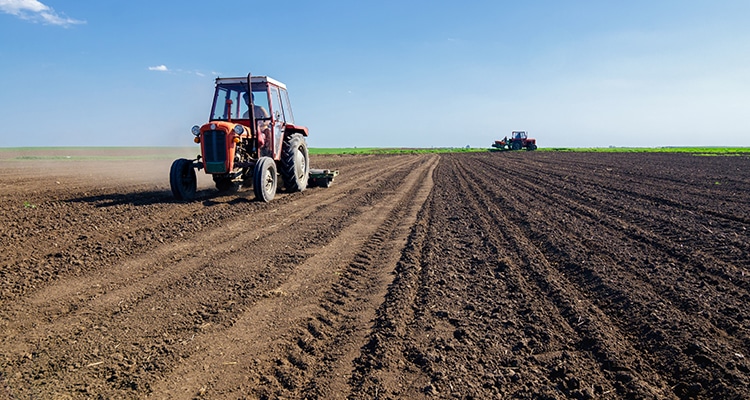
Soils are critical to the health of our planet and essential for human, animal and plant life. they provide the nutrints and water required to grow food; they also support biodiversity and help to regulate climate, floods and droughts. However soils- and the many varied benefits they provide to humans and wildlife- are at risk from changes in climate and land use.
Soils are crucial to any plans to reduce overall greenhouse gas emissions; they store huge amounts of carbon – an estimated 1,500 billion tonnes worldwide, which is more than in the atmosphere and vegetation combined.
Healthy soils can mitigate climate change. This could be directly, by ‘locking in’ and keeping soil carbon that would otherwise be released into the atmosphere as CO2 or methane, or indirectly, by supporting the growth of plants, which remove CO2 from the atmosphere via photosynthesis.
Conversely, certain land management practices such as drainage for agriculture and forestry use, inefficient application of fertiliser, over-tillage and livestock grazing can exacerbate soil degradation, causing the extensive release of soil carbon and limit plant growth. This leads to negative impacts on the ecological food chain and the amount of CO2 captured from the atmosphere.
Soils themselves are also affected by changes in rainfall patterns and higher temperatures caused by climate and land use changes.
Two NERC-funded research projects, LOCKE UP and a long-term soil experimental facility in Clocaenog, North Wales, led by UKCEH, look into these in detail.
To read more about this story, check out the Planet Earth website.
Landscapes in deglaciated areas are like time machines. By looking at the shape and size of landforms, interpretations about the former ice flow processes can be made. Wherever you see a drumlin (an elongated, teardrop shaped hill) you know a fast-flowing glacier used to be here. But how did they form and what can that tell us about present-day and future ice dynamics?
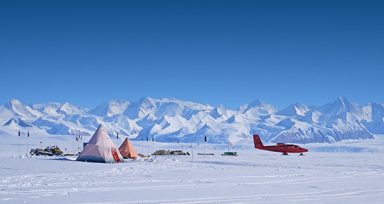
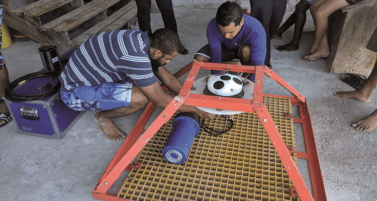
With ice flowing at more than one metre per day, Rutford Ice Stream in West Antarctica counts as fast flowing, and its bed is laced with elongated landforms. NERC fund research into understanding the link between these landforms and actual ice stream dynamics through the BEAMISH (Bed Access, Monitoring and Ice Sheet History) project.
The BEAMISH project aims are both academic and practical. The overall goal is to find out how Rutford Ice Stream has changed in the past and is flowing today. To do this scientists:
-Drill access holes to the bed of Rutford Ice Stream
-Sample and instrument the bed, ice and surface
-Find out when the ice sheet last disappeared
-Measure the temperature and straining of the ice
-See how water and sediment under the ice allow it to move fast
The project aims to improve our understanding of two aspects of this uncertainty: first, the past behaviour of the West Antarctic Ice Sheet (WAIS), and second, the flow of the fast ice streams that drain it. By choosing the right location, both these aims can be addressed within one project.
When completed, the project will give information on:
-An age for the most recent collapse of the ice sheet in this region
-The water system beneath the ice
-The thermal regime of the ice and bed
-The partition of ice motion between the three different flow mechanisms – sliding, ice deformation and bed deformation
Read the full story from Rebecca Schlegel on the Planet Earth pages.
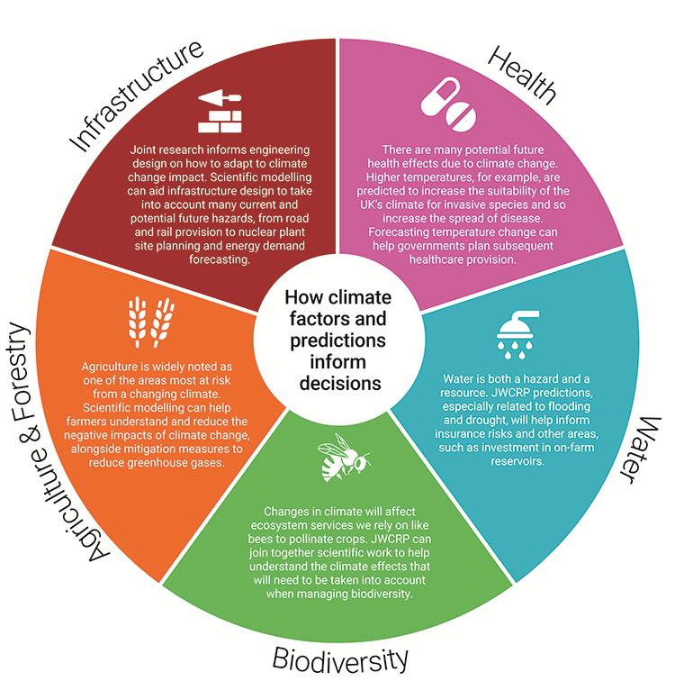
With climate change having a huge impact on the decisions and policies we make, never more has the need for collaboration been key. And at the forefront is the Joint Weather and Climate Research Programme, a groundbreaking collaboration between NERC and the Met Office.
The Joint Weather and Climate Research Programme (JWCRP) was launched in March 2009. Originally called the Joint Climate Research Programme (JCRP), the JWCRP right from the start created much closer working relationships between NERC and Met Office scientists when it came to developing improved models that focused on climate change predictions on timescales of up to centuries.
JWCRP effectively has two overarching goals. The first? To sustain and grow the UK’s national capability and research. And the second? To collaborate. Collaborate on a big scale, so, when it comes to major research initiatives and programmes, JWCRP will strive to align them, securing an effective impact of the research carried out, feeding the outcomes into the delivery of services of government, society and business.
Collaboration in action
The need: Create an integrated approach to forecasting more accurate weather predictions and the warning of natural hazards. Use this to develop more complete environmental predictions to help society make informed decisions that ultimately protect lives, livelihoods and property, facilitating social and economic prosperity.
The answer: Collaborating as JWCRP, the Met Office, UK Centre for Ecology and Hydrology, National Oceanography Centre and Plymouth Marine Laboratory began to work on the base of a coupled high-resolution probabilistic forecast system for the UK to the nearest kilometre.
The outcome: A research framework has been created to offer a unique new research tool for UK environmental science. Ongoing work will build on these foundations through Phase 2 work, delivering new research and pull-through to impact.
Fast facts: Monsoon
What? MONSooN (an almost-acronym for Met Office and NERC joint supercomputer system) delivers supercomputing infrastructure to enable collaboration between NERC and Met Office scientists. It’s a common computing platform, providing post-processing capability, fast data links and access to data archives.
When? The Monsoon service began on 1 December 2009.
Why? One word: advancement. By scientists having access to Monsoon, climate change modelling results can be shared, as well as developing joint software. All this can then help JWCRP and NERC scientists to change and inform key activities for future planning and policymaking.
How? Scientists can use Monsoon to run climate change scenario simulations based on their specific area of research, helping them to predict, change and inform.
From rising sea level impact on coastal ecosystems to exciting new ways to reduce greenhouse emissions, marine scientist Dr Judith Wolf describes her research into the effect of climate change on the world’s oceans.
Together with colleagues at the National Oceanography Centre (NOC), my team and I are part of the global scientific effort to quantify the real risks of climate change.
A key element of our work is the provision of clear, measured evidence with which policymakers can make informed decisions. For example, the NOC works closely with the Marine Climate Change Impacts Partnership (MCCIP), and is a major contributor to its influential Report Card, which provides policy advisers, decision- makers, ministers, Parliament and the devolved administrations a sharp and succinct update on how climate change is impacting UK coasts and seas.
The 2020 Report Card makes for sobering reading, and many of its messages are clear and unambiguous: global temperatures are rising and this is leading to warming seas, reduced oxygen, increased acidification and rising sea levels. These global changes are affecting the UK continental shelf and coastal waters, and are having an impact on our ecosystems.
The report also tackles more controversial questions, such as whether extreme events – storms, surges and waves – are getting more severe.
Our models and observations of UK coasts and seas show an average (mean) increase in wave heights in the Northeast Atlantic since the 1950s. However, we have not been able to directly attribute this to climate change – and attributing the cause of individual storms is even harder. Indeed, under a high-emissions scenario, there might even be an overall reduction in mean significant wave height in the North Atlantic by 2100.